LandCover for 2000
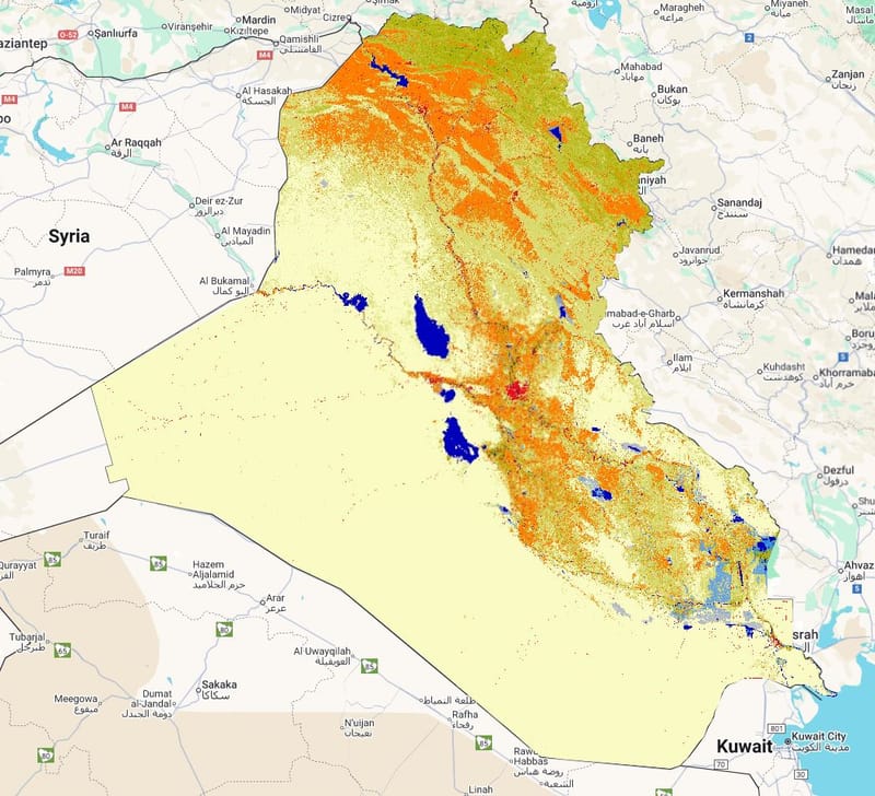
Layer Description
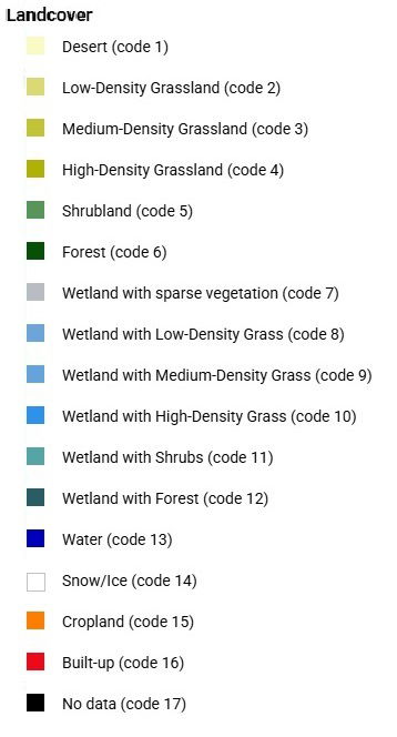
Raster map of land-cover classes in Iraq for the year 2000 derived from the GLCLU v2 dataset, showing spatial distribution of major land cover types (e.g., desert, grassland, cropland, wetlands, water, built-up). Includes a legend file detailing class codes and colors.
Map Legend:

Downloads:
Legend: Landcover Legend.jpg
Layer: LC 2000 (GEOTIFF).tiff