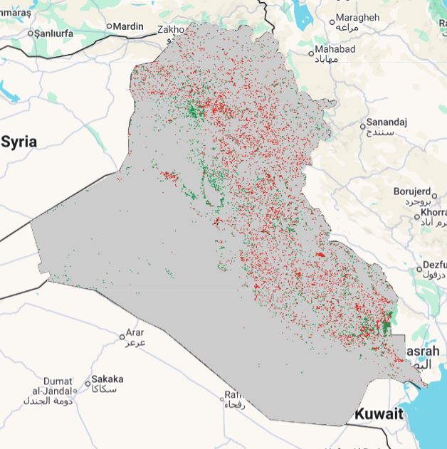
Layer Description:
Raster representing land-degradation status for 2015–2020, classifying spatial units into degradation categories under UNCCD guidelines. Legend included.
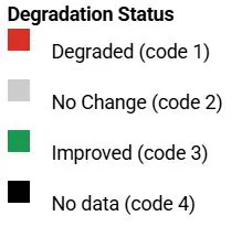
Legend:
Download:
Degradation status 2015-2020 (GEOTIFF).tiff