Degradation state (2010-2015)
Layer Description:
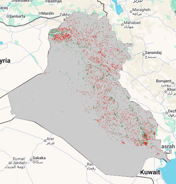
Map showing SDG 15.3.1 degradation status for 2010–2015. Each pixel indicates whether land remained stable, improved, degraded, or has no data. Legend file provided.
Legend:
Download:
Layer Description:
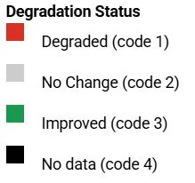
Map showing SDG 15.3.1 degradation status for 2010–2015. Each pixel indicates whether land remained stable, improved, degraded, or has no data. Legend file provided.
Legend:
Download: